
Walk a Hackensack Street
A Hackensack street search works best as a record chain, not as a name list. Within Hackensack, begin with the situs address, the physical parcel location. The county assessment and parcel systems can return an owner or taxpayer field, a PAMS PIN, and block, lot, and qualifier identifiers. Those identifiers stay useful when a building has units, a lot is split, or an old street number no longer matches a modern format. An owner field is an ownership clue, not a statement that the owner lives at the parcel.
- Enter the exact Hackensack address in the Bergen County Property Record Search. Save the situs location, owner field, PAMS PIN if shown, and block, lot, and qualifier.
- Open the same Hackensack property in the Bergen GIS parcel service. Check the parcel shape and municipal field before treating similar street labels as the same place.
- Use the owner name or legal description in the Bergen County Land Records Search to locate a Hackensack purchase deed and its grantor.
- Use the New Jersey Voter Search only to check an identified Hackensack person’s registration status. It is not a Hackensack street roster.
- For an older occupant clue, compare the Hackensack street and number with the Johnson Public Library and historical reverse-directory holdings.
This Hackensack sequence keeps four questions apart: which parcel is meant, who held recorded title, who received tax correspondence, and who a dated directory placed at an address. In Hackensack, a current result may lag a deed or assessment update, so compare the record date, assessment year, and instrument date before drawing a conclusion.
Note: A multi-unit Hackensack address needs its unit and qualifier preserved separately before records are compared.
Hackensack Parcel Keys
Hackensack address records use more than a street number. The Bergen GIS service carries PAMS_PIN, municipality, block, lot, qualifier, street number and name, owner mailing fields, sale data, values, taxes, use, zoning, year-built data, map page, and update fields. A Hackensack street can also include a public parcel, railroad strip, commercial site, or several condominium interests. Record the map geometry and parcel key first, then follow the right source for the question at hand.
- Parcel
- A mapped tax-property unit. In Hackensack, its PAMS PIN and block, lot, and qualifier can connect GIS, assessment, and deed research.
- Situs address
- The physical location of the parcel. It is different from the address where an owner receives tax mail.
- Legal description
- The deed’s formal property wording, often using block, lot, qualifier, or metes-and-bounds language. It can outlast a changed street number.
- Criss-cross directory
- A historical directory arranged by address rather than only by surname, useful for a dated occupant or business clue.
The owner mailing address for a Hackensack parcel can be a post-office box, a business, a trust contact, another residence, or an out-of-state correspondence address. Treat it as a mailing field. It does not confirm present occupancy at either address.
Search Fields for Hackensack Streets
The county-linked assessment page uses a staged search. A Hackensack assessment request asks for a database, county, district, search format, output format, and items per page before the address criteria. The inspected portal exposes location, owner name, block, lot, and qualifier, plus a Process Search control. Its available dropdown choices and exact result labels were not exposed during the research, so a Hackensack search should not assume a hidden ZIP or street-wide filter.
| Portal field | Input type | Hackensack use |
|---|---|---|
| Database, county, district | Select menus | Set the government area before entering a property criterion. |
| Search format, output format, items per page | Select menus | Control the search and display; inspected option lists were not available. |
| Location | Text | Use the normalized Hackensack street address. |
| Owner name | Text | Use after a parcel result identifies a recorded owner or taxpayer. |
| Block, lot, qualifier | Text or number | Use the parcel identifiers, especially for units and complex lots. |
The Bergen County Board of Taxation links to the property-record route and cautions that data is supplied as-is. Recent SR1A material after the most recent June 30 can be working-file data rather than final appeal data. Confirm a disputed Hackensack field with the city assessor.
Note: A blank field is a question for the Hackensack assessor, not proof that the parcel or person does not exist.
Map a Hackensack Street
Parcel GIS is the map-first part of the Hackensack street directory. Locate the target Hackensack property, inspect its polygon, and save the PAMS PIN and block/lot values before opening other records. The service supports queries and distance parameters, but the research did not find a one-click household or neighbor list. A Hackensack distance result creates candidate parcels. Roads, easements, common elements, water, and public rights-of-way still need visual and legal-record review.
Bergen GIS’s parcel-viewer service is the source for this Hackensack street directory image.
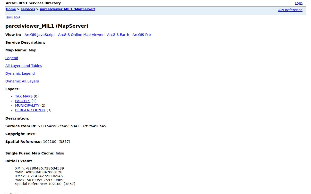
The map service helps verify a Hackensack parcel’s position and identifiers before an address is carried into assessment or land records. It is not a certified title record.
Hackensack Deeds by Address
For a Hackensack street question about ownership history, turn the parcel result into a deed search. Bergen’s online land-record index covers deeds and mortgages from January 1, 1970 forward. Find the current owner as a grantee, read the purchase instrument’s grantor, date, consideration, legal description, and book/page or instrument identifier, then search that grantor as a grantee for an earlier acquisition. Repeat only while the legal description and parcel evidence remain consistent.
Recorded Hackensack instruments may also include assignments, satisfactions, releases, lis pendens, construction liens, tax-sale certificates, and plats. A mortgagee, lienholder, contractor, or business party is not necessarily an owner or occupant. The Clerk asks researchers to search spelling variants. For older Hackensack records, use the Clerk’s office, deed books and indexes, state archive microfilm, and available county-book routes. Staff can assist with records use but cannot conduct the search for the public.
Note: Keep the deed’s legal description verbatim because its continuity can be stronger than a Hackensack street number.
Hackensack Address Files
Hackensack address work can also lead to city permits, inspections, certificates, violations, zoning applications, and public redevelopment files. The city’s Hackensack online permit and concern route was not field-readable in the research. For a complete Hackensack file, request existing records by exact address and date range from the city’s building and land-use office, or make a focused request under the New Jersey Open Public Records Act. The official file matters because the city warns that courtesy zoning copies can be incomplete.
Hackensack Tax Assessor guidance is the source for this Hackensack street directory image and the municipal route for property questions.
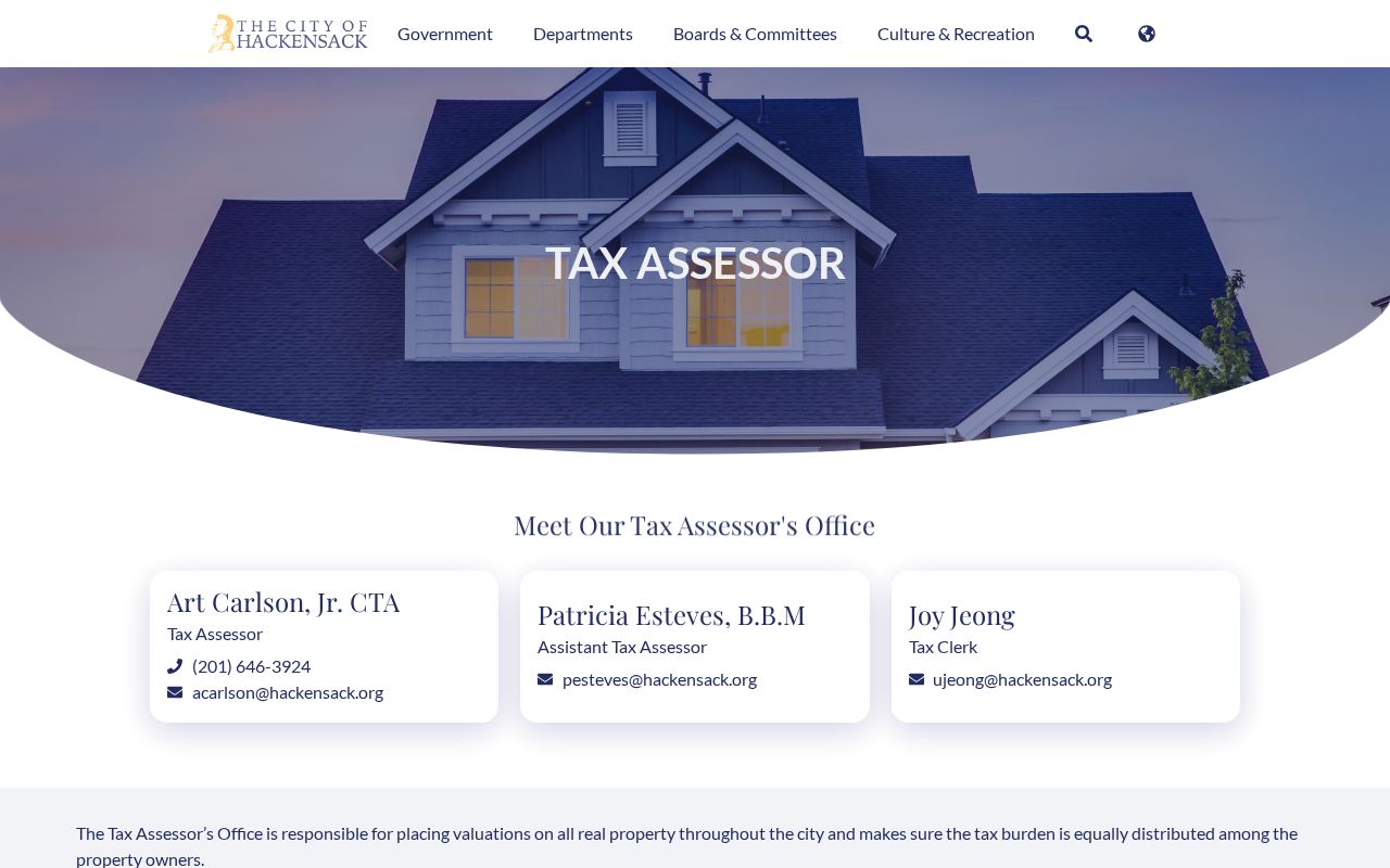
Ask for a defined record series, such as permits, inspections, notices, or a certificate, rather than asking a custodian to create a history. An applicant or contractor named in a file is tied to that filing, not automatically to the property as a resident.
Voters and Hackensack Streets
The New Jersey Voter Search is person-first. The documented inputs are first name, optional middle initial, last name, and a date-of-birth field; the live result screen was blocked during research. A Hackensack match should be treated as registration confirmation, not as a street-level roll. Exact spelling, hyphenated and married surnames, initials, and address updates can affect a search. A non-match does not prove that a person never registered.
Bergen’s Hackensack election offices maintain the underlying records, but a bulk-file request is a distinct legal and administrative process with eligibility, format, fee, redaction, and use rules. Protected voter addresses and Address Confidentiality Program or Daniel’s Law exceptions may apply. Do not turn status checks into a public list of names and addresses.
Historic Hackensack Street Clues
Historical address work needs a dated source. Johnson Public Library holds Hackensack city-directory runs for 1879; 1898–1902; 1906–1926; and 1947–1956. The Library of Congress documents street-address listings for 1934, 1946, 1954–1958, and 1961, while Bergen County Historical Society holdings include telephone books from 1930–31 onward in uneven years. These sources can show a dated occupant, business, or telephone listing, not current occupancy.
Some local Hackensack directories cover towns along a railroad line. Check the volume’s title page and municipal scope, then compare an old number with its cross street, ward, map footprint, or legal parcel description. The 1908 and 1915 Sanborn sets, Walker Atlas, and local newspapers can bridge a demolished Hackensack building or changed street pattern. No official year-specific citywide renumbering list was found, so do not invent a renumbering date.
The historical runs are described by Johnson Public Library local history and the Library of Congress street-address directory guide. For the detailed historical shelf, use the Hackensack City Directories page.
Hackensack Street Record Coverage
Each Hackensack record set answers a narrower question. A parcel result can connect a Hackensack street address to ownership and tax data. A deed can show recorded transfers. A permit can describe work. A directory can supply a dated address clue. Comparing each source to the same parcel identifiers is safer than relying on a matching surname alone.
| Address-keyed source | What it can establish | Hackensack access route |
|---|---|---|
| Assessment parcel card | Owner or taxpayer, situs, mailing field, values, taxes, sale information, and characteristics. | County property search and city assessor. |
| GIS parcel layer | Map geometry, PAMS PIN, block/lot/qualifier, use, zoning, and related parcel attributes. | Bergen GIS map and query service. |
| Recorded deeds and mortgages | Grantor/grantee trail, transaction date, legal description, and instrument history. | Bergen County Land Records Search from 1970; office and archive routes earlier. |
| City permit or zoning file | Address-specific work, inspection, notice, certificate, or land-use file. | City department or a focused OPRA request. |
| Reverse directories and maps | Dated occupant or business clues, street context, and historic structure use. | JPL, BCHS/GSBC, and Library of Congress collections. |
| Voter status search | An identified person’s registration-status check when the official search succeeds. | State search and county elections contacts; not a street roster. |
A Hackensack street may pass high-rise, mixed-use, civic, medical, commercial, or single-family parcels. That Hackensack mix is another reason to name the record type precisely. A property owner, a directory business, and a permit applicant can all be real records for one address without being the same person or the current occupant.
Limits of a Hackensack Street Directory
A directory of Hackensack addresses cannot establish a complete household. Names of people who are not the recorded owner, and household composition, are not supplied by the Hackensack parcel and deed systems. Utility customer information and motor-vehicle address data are not public alternatives. Sealed, expunged, juvenile, adoption, medical, and other protected material remains outside this kind of research. A public record can be old, incomplete, or linked to a property role rather than a current resident.
Fallbacks for a Hackensack Address
When a Hackensack portal does not return the needed record, preserve the address version, parcel identifiers, and date range, then shift channels. The County Clerk has older land-record routes and public research access. The city can supply existing Hackensack address files through its department or OPRA process. JPL and the BCHS/GSBC library provide historical directories, maps, newspapers, and manuscripts. A missing online hit is not evidence that a Hackensack address had no earlier record.
The Bergen County Board of Taxation property-search route is shown in this final Hackensack street directory image.
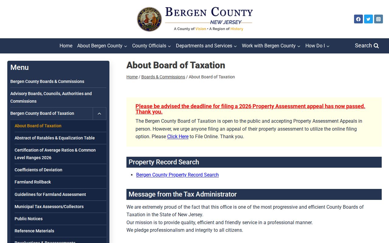
The official county link is a useful starting point, while the assessor, GIS service, Clerk, and local-history collections provide the necessary fallbacks when one record path is incomplete.